Historic Maps of Scarsdale
One of the best ways to appreciate the rich history of Scarsdale is to look at the changes that have occurred—for better or for worse—through a series of maps. Below is a selection of maps available online from the David Rumsey Map Collection. Clicking on a map will take you to the Rumsey site, where you can enlarge the map and pan across it to see details.
Included here are the following maps:
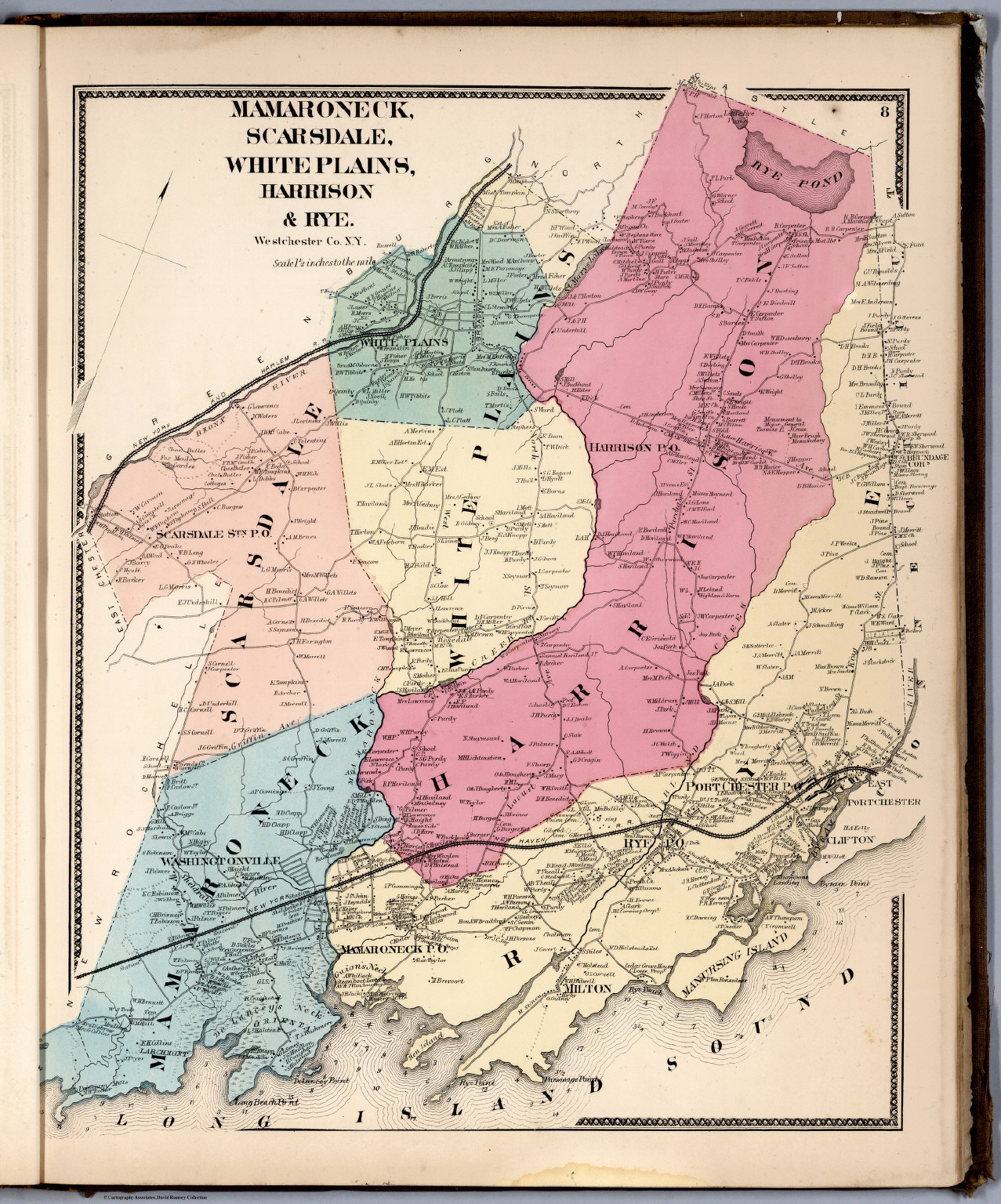
- 1867 Mamaroneck, Scarsdale, White Plains, Harrison & Rye.
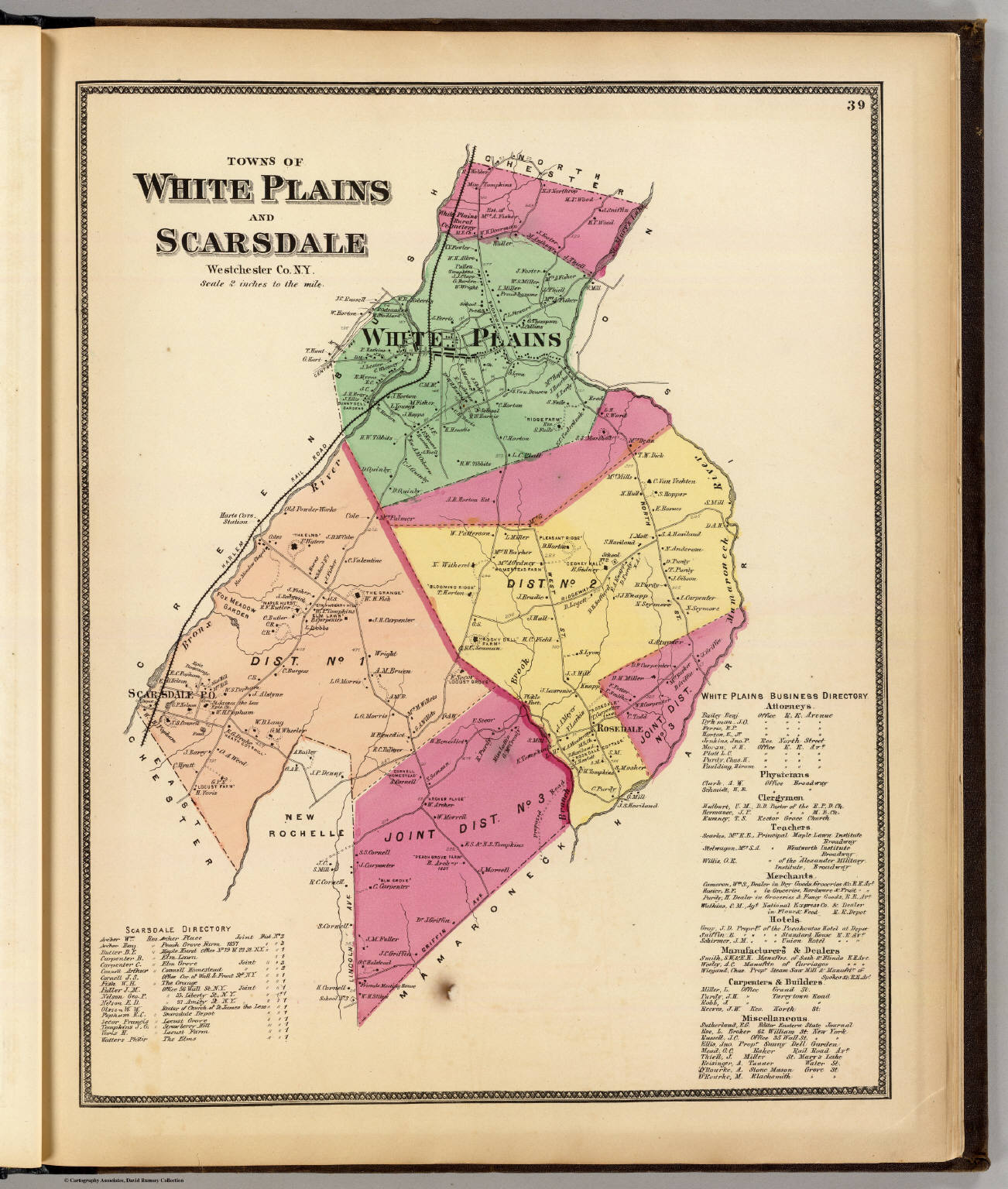
- 1868 Towns of White Plains and Scarsdale.
- 1872 Towns of White Plains and Scarsdale.
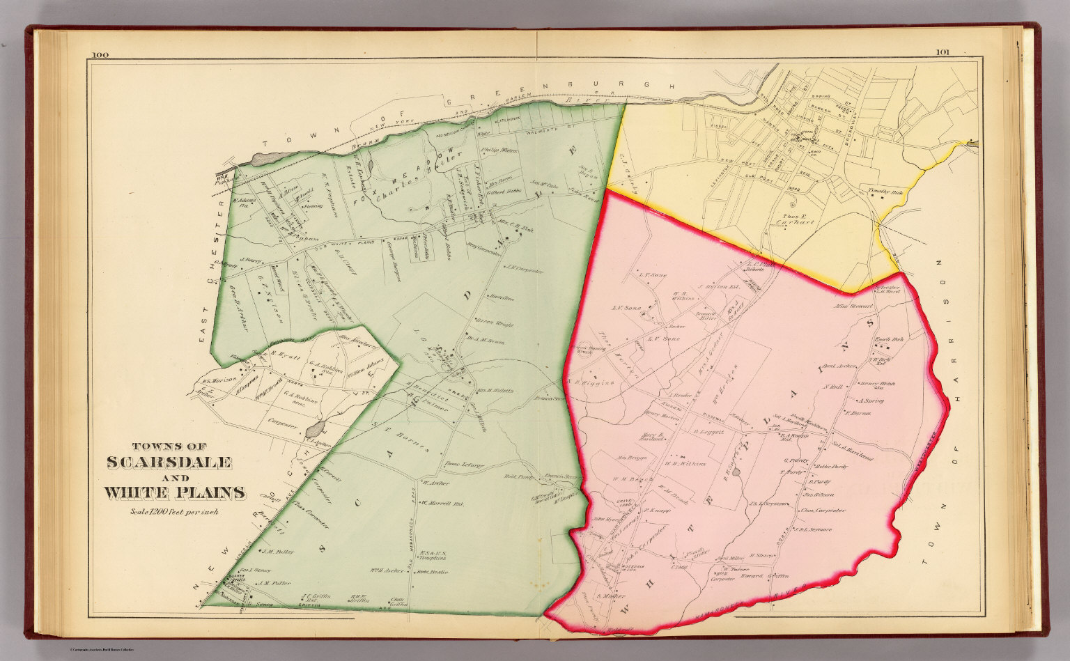
- 1881 Towns of Scarsdale and White Plains.
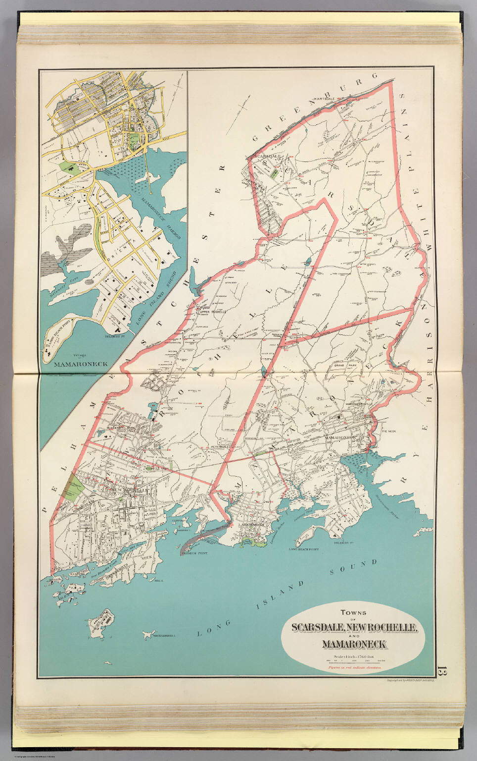
- 1893 Towns of Scarsdale, New Rochelle and Mamaroneck.
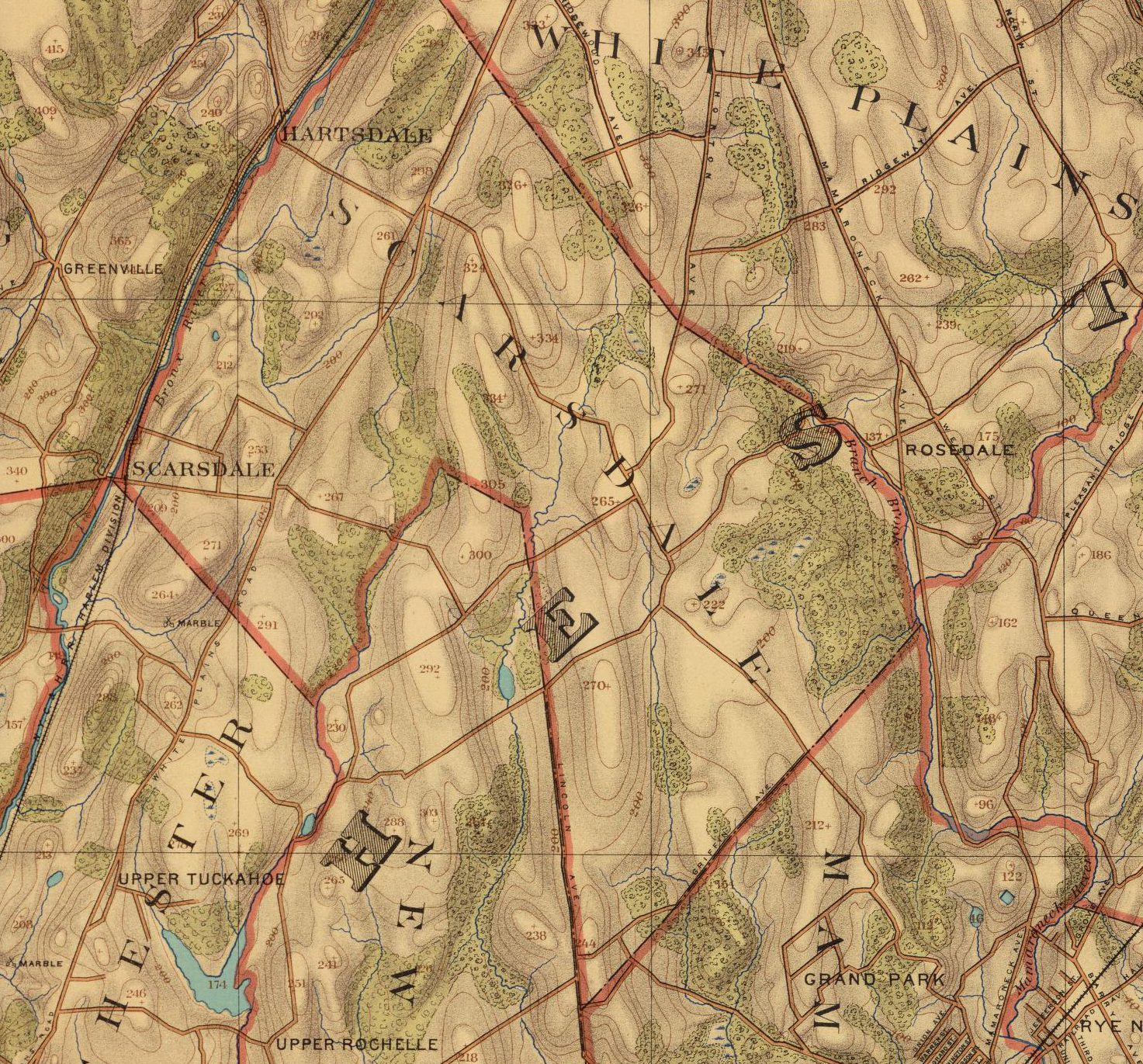
- 1893 Detail of the Scarsdale area, topographic map.
- 1900 Map of Mount Vernon, East Chester, Pelham, New Rochelle, Scarsdale and Mamaroneck.
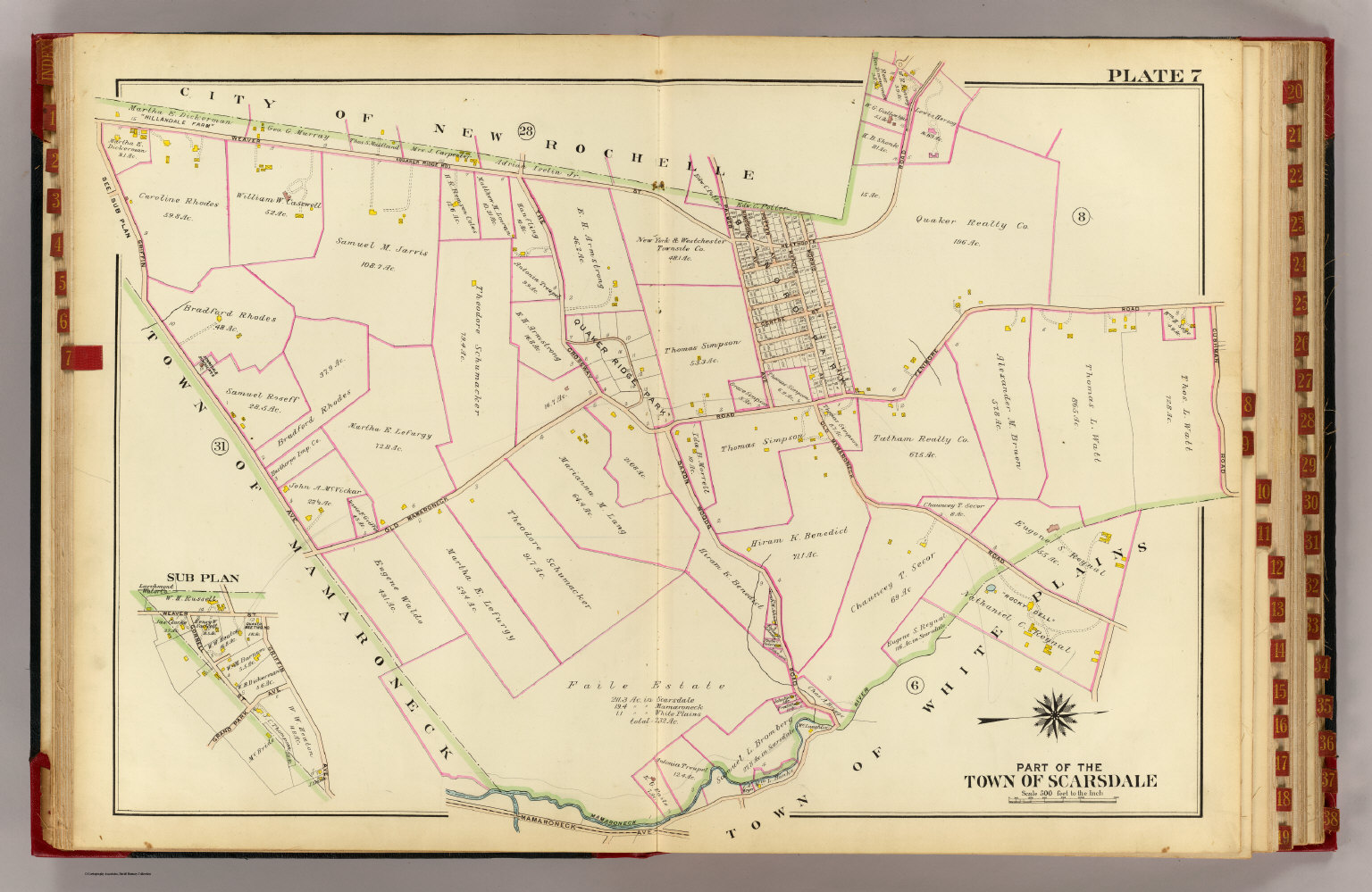
- 1910 Part of the town of Scarsdale. See the Rumsey site for other sections.
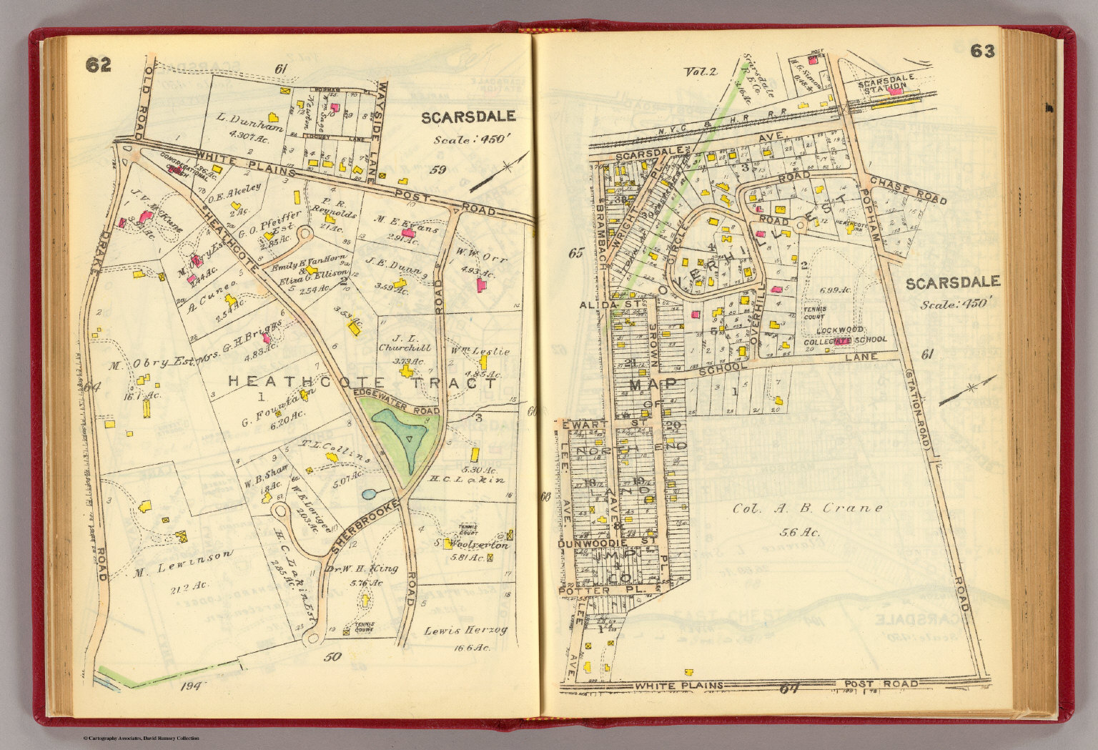
- 1914 Part of the town of Scarsdale. See the Rumsey site for other sections.